February has come and almost gone, it was time for our monthly section hike. Our past few hikes the weather has been outstanding but on this weekend it looked as if it was gonna be wet and cold. Hiking trips don't come around often enough so it was gonna take way more than that to keep us down. Forecast was for rain Sat and clearing and cold on Sun...challenge accepted! Seein how the gate was closed on Deep Gap we decided to take the Kimsey Creek Trail down to Deep Gap, this was only gonna add about four miles to our hike and it allowed us to park only a mile from Rock Gap. Grand total for this overnighter is around 25 miles.
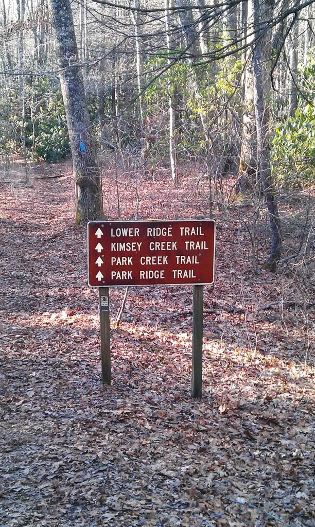
McD's in Hayesville would provide our pre-trip nourishment (if you could call it that) on a cold and rainy Sat morning, we lit out of there and headed up to Standing Indian. Our hike would start just a mile down the road so we hopped in the back of Dustin's truck and off we went.
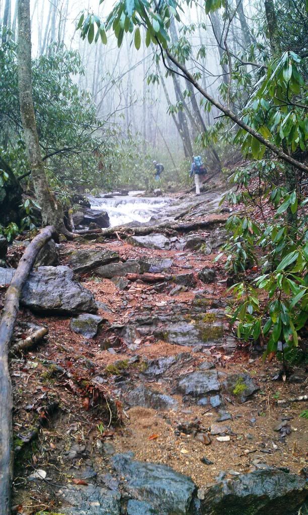
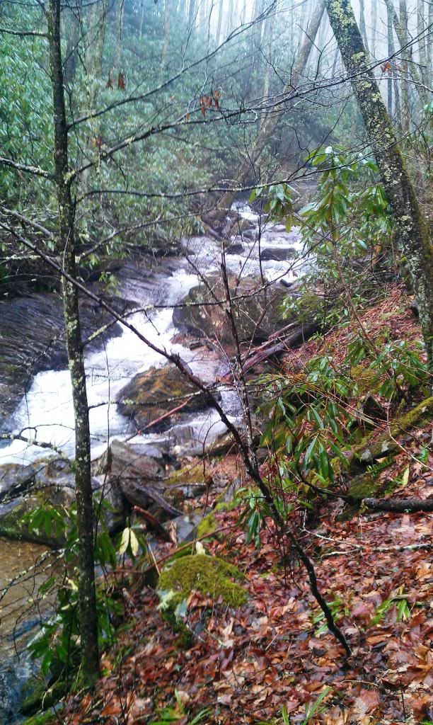
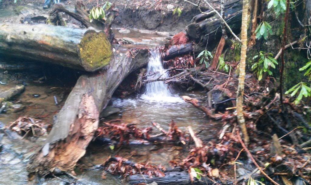
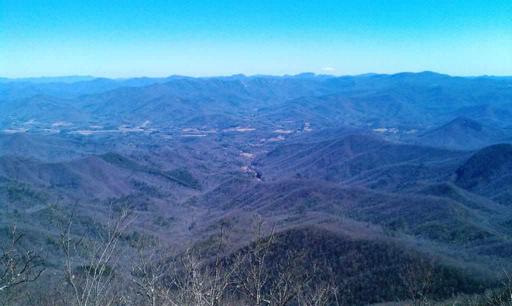
I'm not gonna lie to ya...the Kimsey Creel Trail was pretty sloppy, there were points where the creek spilled out into the trail and we were walking in water several inches deep, thankfully the Keen Targhee II's I wore stayed pretty dang dry. I cant say if this trail is like this all the time cause there had been alot of rain prior to today. Despite the fog and drizzle it was still very scenic. I can see why folks enjoy day hiking this trail, seems like it would be easily passable on a dry day.
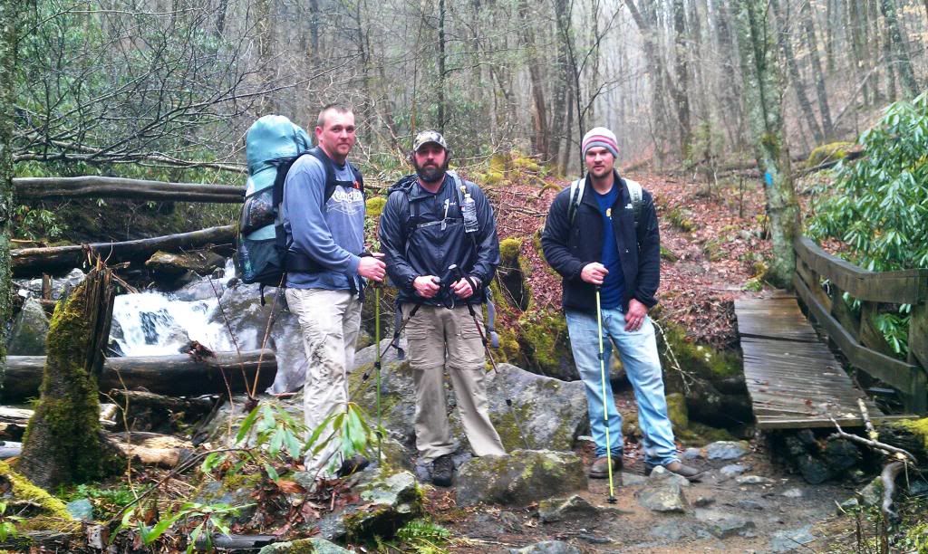
Here we are at one of the super slick foot bridges, Dustin, Jason and Brent (in cowboy boots and jeans)
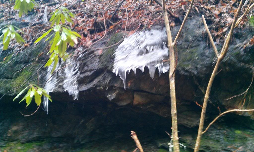
There were still a few patches of snow and some ice from the week before on the trail.
 |
| Dustin, Me, and Brent |
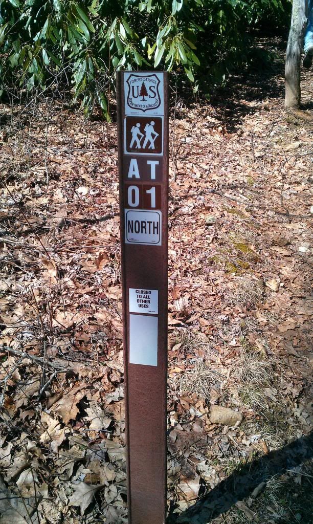
After arriving at the A.T in Deep Gap we hammered down a quick snack attack and checked our gear to see how damp it was from the steady drizzle. The Golite Jam Pack I was toting shed the water pretty good, I also had a SitLight Pad inside the top for structure and it helped keep the innards of my pack dry. From here we shoved off, up the A.T for the summit of Standing Indian. Ascending Standing Indian was about 1150 feet in a stretch of about 2.5 miles. Guess its worth noting that all my elevation a mileage comes from The A.T. Guide Book its been pretty much spot on.
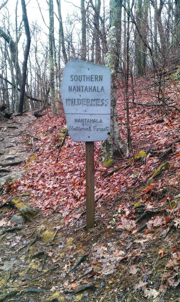
Within a half mile we crossed yet another foot bridge (The Depot must've had a wicked sale on lumber back in the day) and a sign declaring this the Southern Nantahala Wilderness.

This climb was not to difficult, we seemed to be making better time, the A.T. was much dryer than the four miles we spent dredging thru the mud to get to Deep Gap. Having Carter Gap shelter on the mind we blew right by the first shelter, and to the summit of Standing Indian. It was less than impressive due to the fog, I could barely see the end of my hat bill. We downed some water Brent fixed his sock where his cowboy boots rubbed a hole in it...(kinda saw that coming)...and we were off again.
 |
| Photo courtesy of Al Gore's Internet |
With a mild descent, we meandered in the fog for a few miles before arriving at Beech Gap.

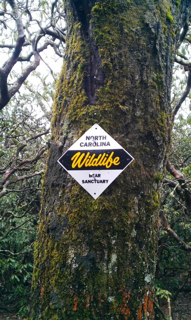
Passed loads of these signs, but never ran across what they spoke of. Seems to me I never see a bear in the woods, but always see em when theres a fresh bag of trash to be had in the back of my truck at the house. Guess like us and McDonald's they're lookin for an easy meal too.
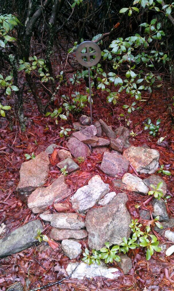
Stopped on a small rocky bald to answer natures call and saw this little marker tucked in the edge of the woods, it had a name and date on it but I cant recall either. +Jason Byers asked me if I would one day carry his ashes to the top of a mountain, I declined sayin I would prob just dump him in the toilet, pee and flush. We all had a good chuckle. We're pretty hard on each other but its all in good fun!
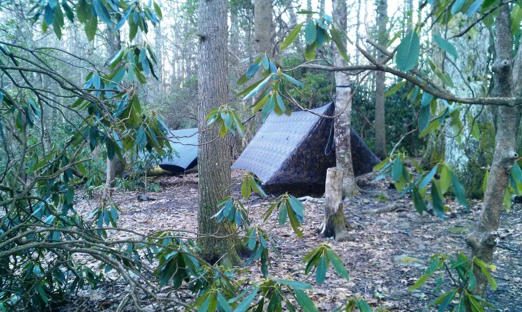
Where were we...ah yes, Beech Gap. This area had some nice tent spots and a decent water source.
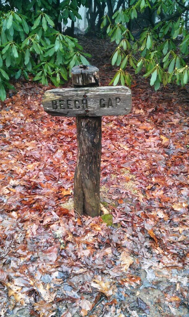
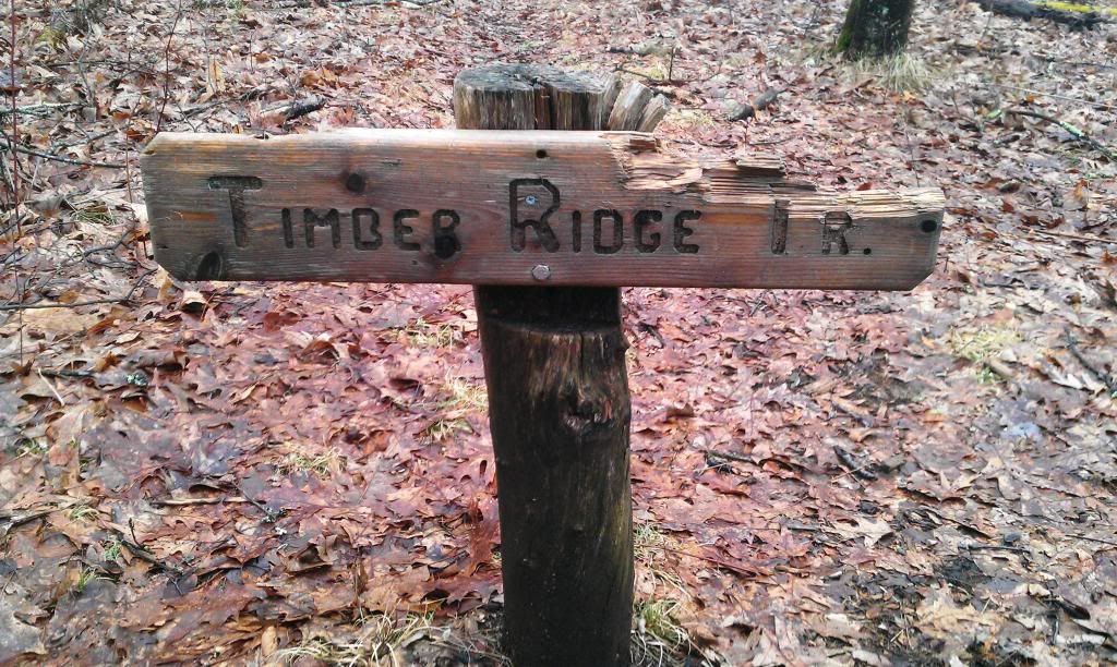
Just before arriving at the shelter we passed Timber Ridge Trail to the west. It looked like one of the resident bears had been snacking on the Trial marker.
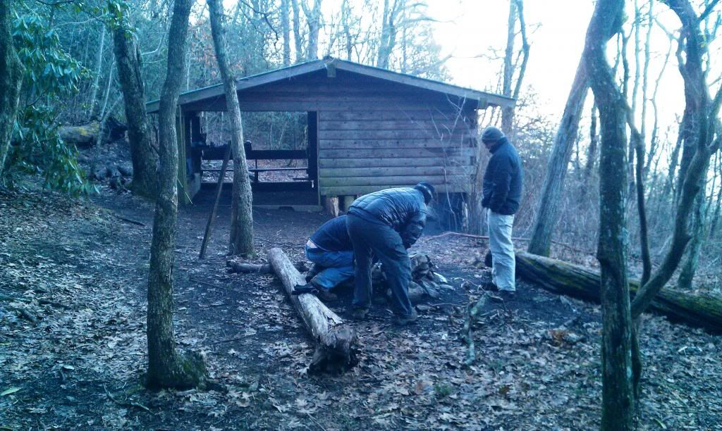
We pulled up to the shelter around 4ish. I was thirsty, Brent looked hungry, Dustin looked cold and Jason’s beard looked like it had grown an inch. Lo and behold there sat Ethan from Hickory. He looked happy to have a little company, but at the same time a little apprehensive that said company was a group of above average size Hillbillies. Everyone introduced themselves and we got to the business of pitchin camp and fixin supper. Carter Gap shelter turned out to be a fantastic place to hammock, it was a good thing since all of us were hanging.
 |
| Warbonnet Superfly and a MacCats standard |
 |
| Jason Byers and Ethan from Hickory |
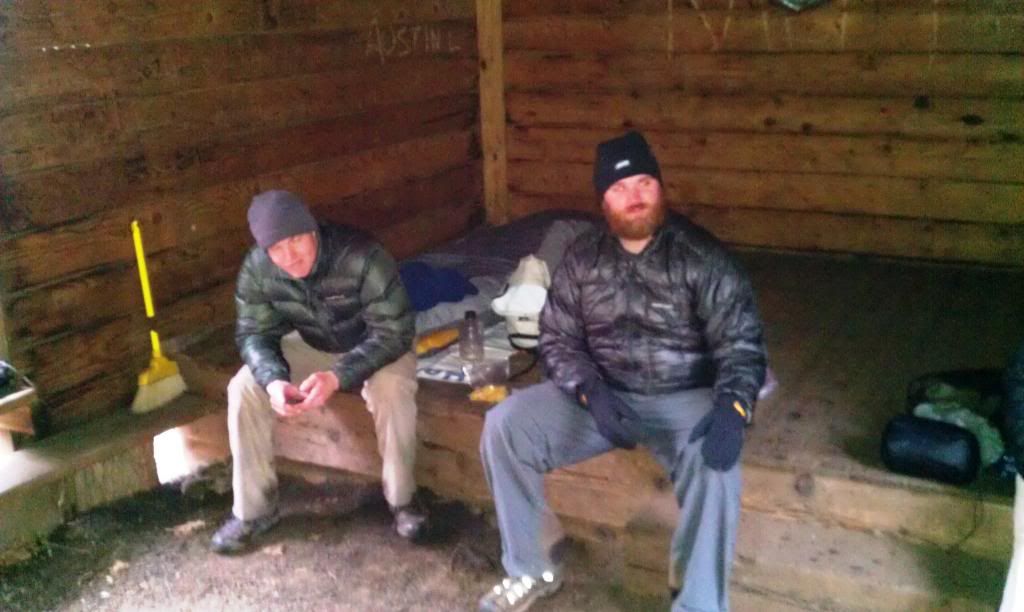
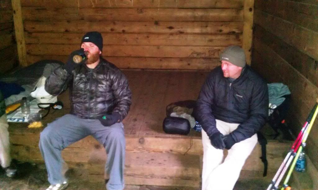
Directly after supper we broke out the saw briar's (you’re welcome Ethan) we shared old stories and laughed…the more we laughed the later it got, and the later it got the colder it grew. Amidst all the cacklings and goings on a mouse started darting around, we grabbed our saw briar's and jumped up like a bunch of girls (I say we for the fact that I’m saving face)…I hate mice! I’d rather wrestle a bear having a choice. We chased him around with the lights from our headlamps, given half a chance I would a stomped his head flat. After that fiasco we thought he had vanished, just then a little head popped out between Ethan’s legs and he declared “think I'm gonna go set up my tent”…and I didn’t blame him. We discussed what the temperature (the mid 20's) was for a while wondering if we would freeze to death that night, we kept assuring each other with a resounding YOU”LL BE FIIIINNEEEEEE!
 |
| Byers belly up to a saw briar and Dustins pure amazement at the feat |
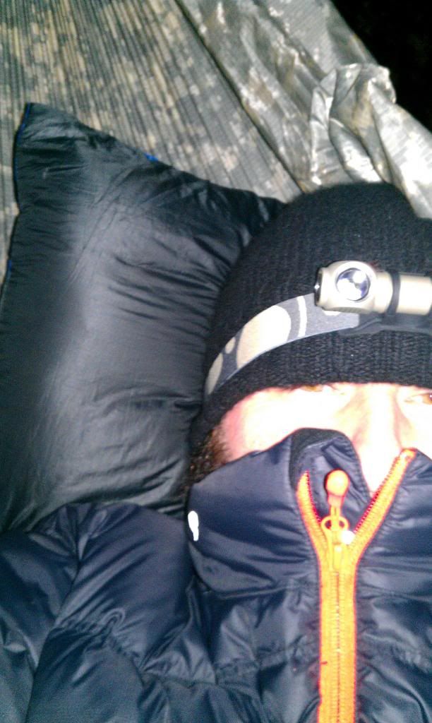
Finally we retired and spent the next 30 min tossing around looking for just the right spot in our hammocks, movement works well to warm your insulation. After a couple of more YOU"LL BE FIIIIINES everyone was off to sleep. I slept in a merino wool base layer and a Stoic Down Sweater with a lambs wool hat.I stayed pretty warm despite my over and underquilts only being rated for around 40 degrees. I did wear glove liners and there was a time or two I wished I had some down socks. The wind howled all night and my Superfly kept it knocked off me pretty well.
Waking up the next morning was cold...I'm talkin blue cold! It was nice to see clear skies and the sun rising over the mountains. First thing on the agenda was hot coffee! Ethan scarfed down a pop tart and was off in a flash. The rest of our bunched rolled out of bed and we all cooked hot oatmeal. never in a big hurry we attempted to build a fire from wet wood to no avail, so with frozen fingers we broke camp and headed toward Albert Mountain.
 |
| a futile attempt to burn wet wood |
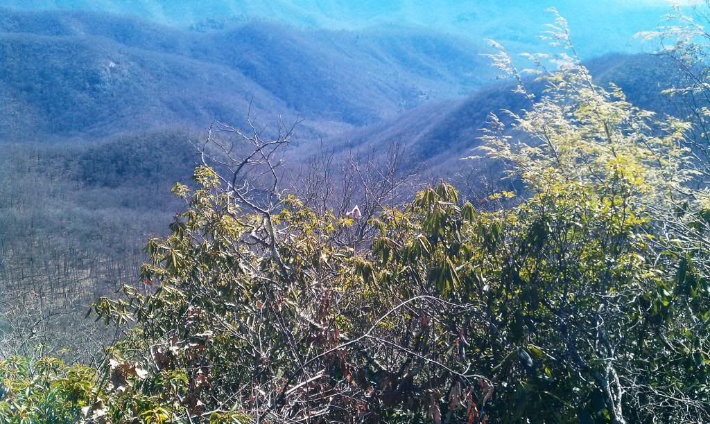
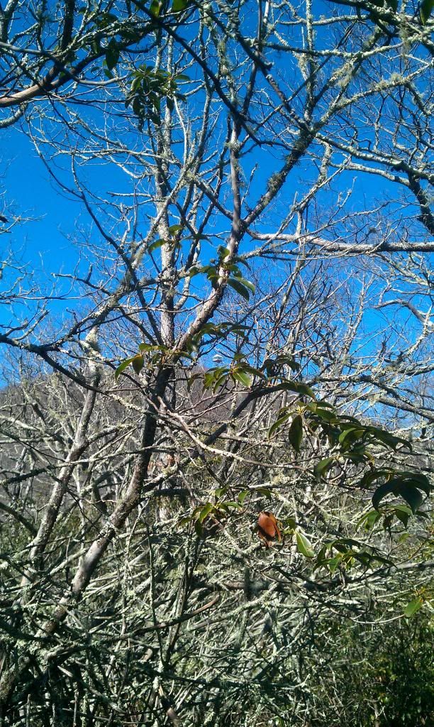
The next 4 miles or so were ridiculously easy, and with cool clear skies we were rewarded with some nice views.
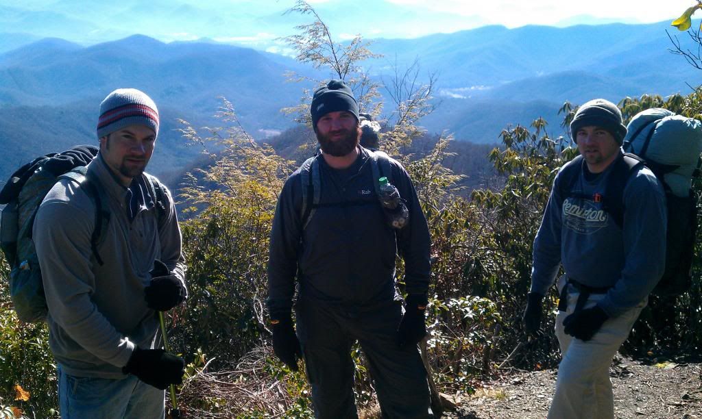 |
| Brent Jason and Dustin |
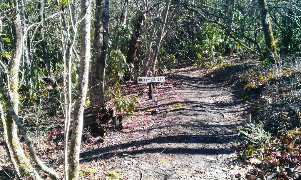
On this easy going section we descended around 600ft. into Betty Creek Gap, here we grabbed a quick snack, filled up our bottles and talked more about how we looked forward to the D.I.F climb up Albert!!
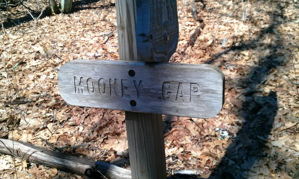
From Betty Creek Gap we slowly climbed a few miles into Mooney Gap crossing USFS road 83, we were north bound and down and looking forward to some good views.
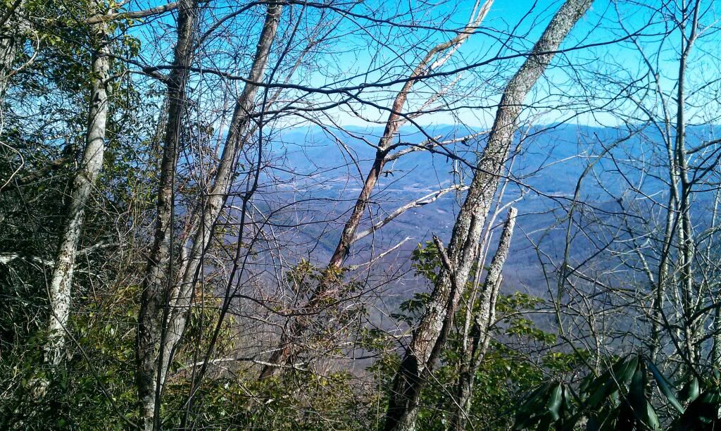
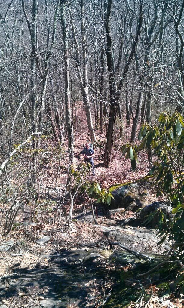
This part of the trail had some great views and ran inches away from some sheer cliffs with vertical drops that looked like they were hundreds of feet.
 |
| Trail running on the edge of cliffs |
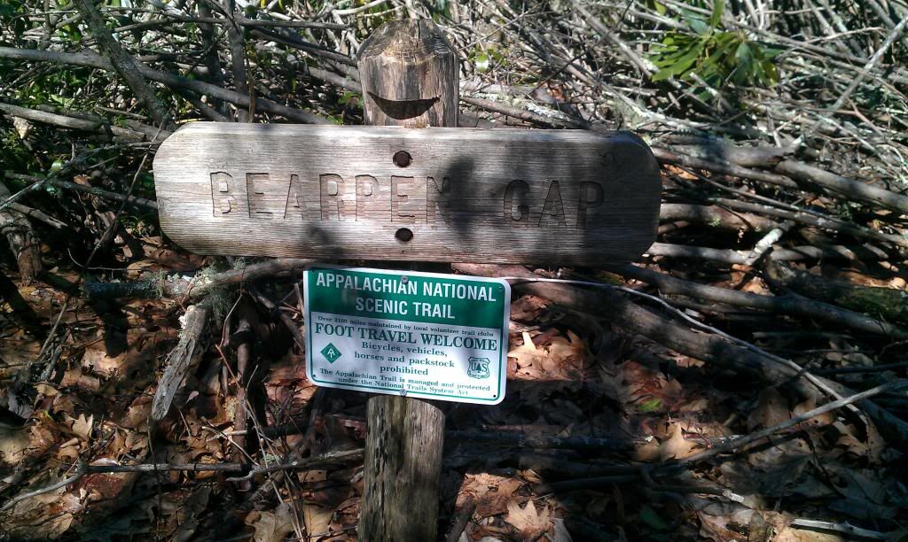
After the trail flattened out for a bit we arrived in Bearpen Gap, here we could finally get a look at the climb that was ahead of us. With a close look you could see the fire tower on top of Albert Mtn.
 |
| Fire Tower on Albert Mtn |
 |
| Jason Byers approaches the D.I.F climb |
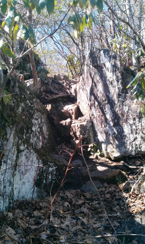 |
| the trail turned into a rock scramble |
 |
| Otto N.C from Albert Mountain |
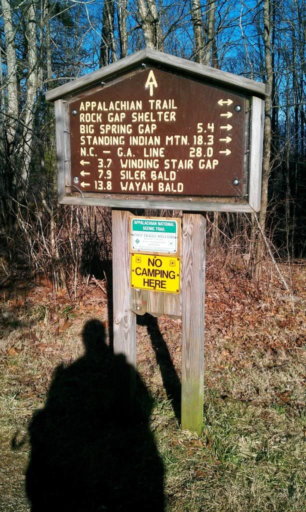
Hiking down from Albert was slow and easy, it was a welcome change after the climb.About a mile down the trail we passed the old Big Spring shelter and this sign, reminding us of where we have been and showing us where were going.
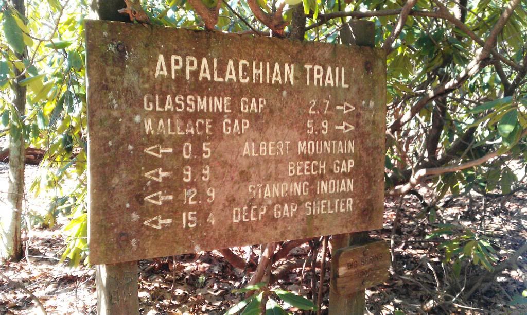
Only 4 miles to go and our minds were drifting to the thought of fajitas at good ol El Cancun in Hiawassee so we put it in high gear past Glassmine Gap and the Long Branch trail intersection.
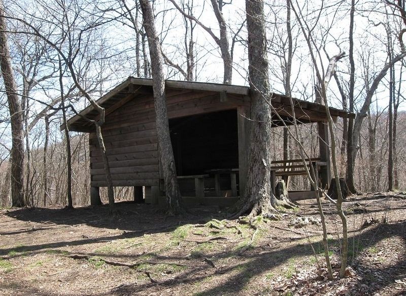
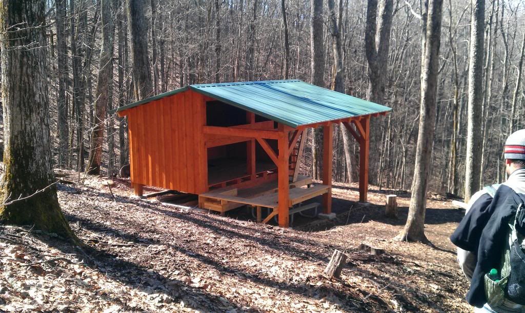
on the home stretch we stopped in to checkout Rock Gap shelter, It looked to have a little age on it. Trail magic!! Someone left a note and 4 Mountain Dews, Byers and I partook in the destruction of two of them. It was the best Mtn Dew I had tasted in years!!

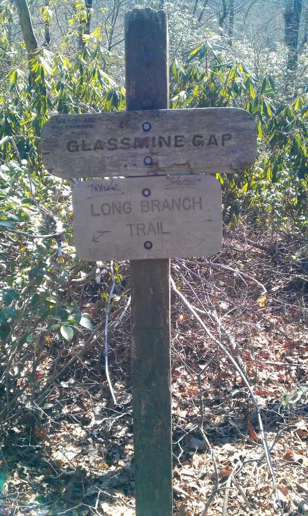
Finishing up this sign marked the end of this section for us, but also the beginning of the next section.
Looking back on the weekend I was thankful for the break in the weather sat and the magnificent views but also for good friends and the ability to get out and enjoy all things great and small. I encourage you to get out....nor rain ....nor sleet ...nor snow, and enjoy whatever it is you enjoy!
-saw em
I would have thought you might leave the trail magic for the thru hikers...
ReplyDeleteGood point anonymous....but I've left way more than I have ever taken. Fortunately the trail runs rite thru my hometown so I have the opportunity to contribute more than most.
ReplyDelete